Partner City
Ear Falls
At the Head of Lac Seul
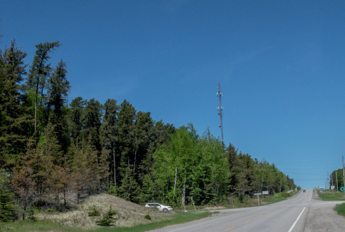
Ear Falls is a small township located at the northwestern end of Lac Seul where it empties into the English River. The region has been inhabited by the Ojibwe people for thousands of years, who called this place Otahwaka Powitek, which means Ear Falls. French and later British fur traders frequently passed through this area to trade with the Ojibwe, and a permanent trading post was established here in 1821. It wasn't until the 1920s and the gold rush at Red Lake that the modern settlement of Ear Falls began to develop. A dam was built over the falls to provide power for the mining operations further north. The later arrival of Highway 105 in 1946 further helped boost the community. Today the municipality of Ear Falls is home to around 1,000 people, and is a popular destination for sport fishermen and tourists looking for a remote escape.


This project was made possible thanks to the generous support of Highway 105 Tourism and the Red Lake Heritage Centre. Major funding was provided by Evolution Mining, as well as the Township of Ear Falls and the Chukuni Communities Development Corporation, and Destination Northern Ontario.
We respectfully acknowledge that Ear Falls is on the unceded lands of the Anishinaape; the traditional lands of the Michif Piyii, Lac Seul and Wabauskang First Nations, and Treaty 3 territory.


Explore
Ear Falls
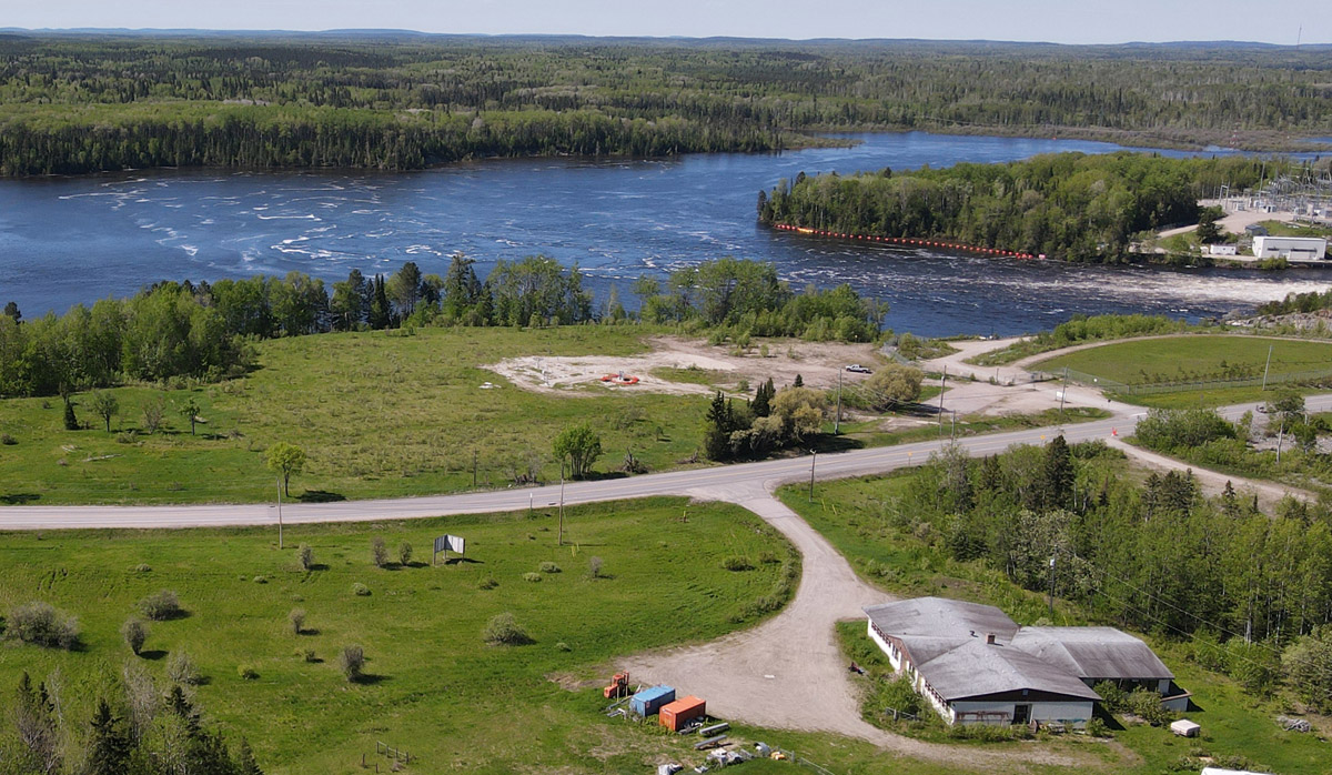
Then and Now Photos
Building Ear Falls Dam
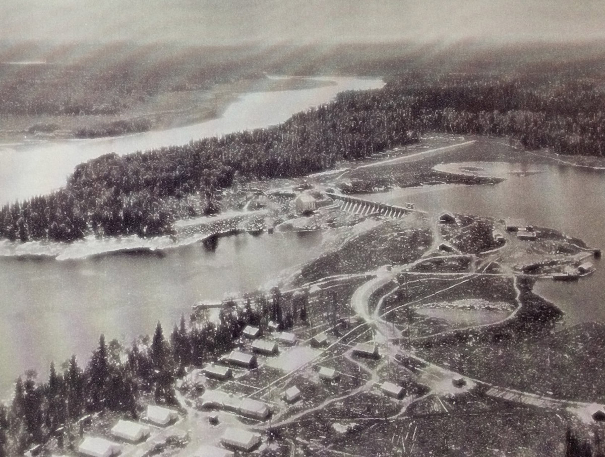
Ca. 1929
Ear Falls Generating Station nears completion in this fascinating aerial photo from 1929. You can see in the foreground the so-called hydro colony, a temporary neighbourhood built to house the dam's construction workers.
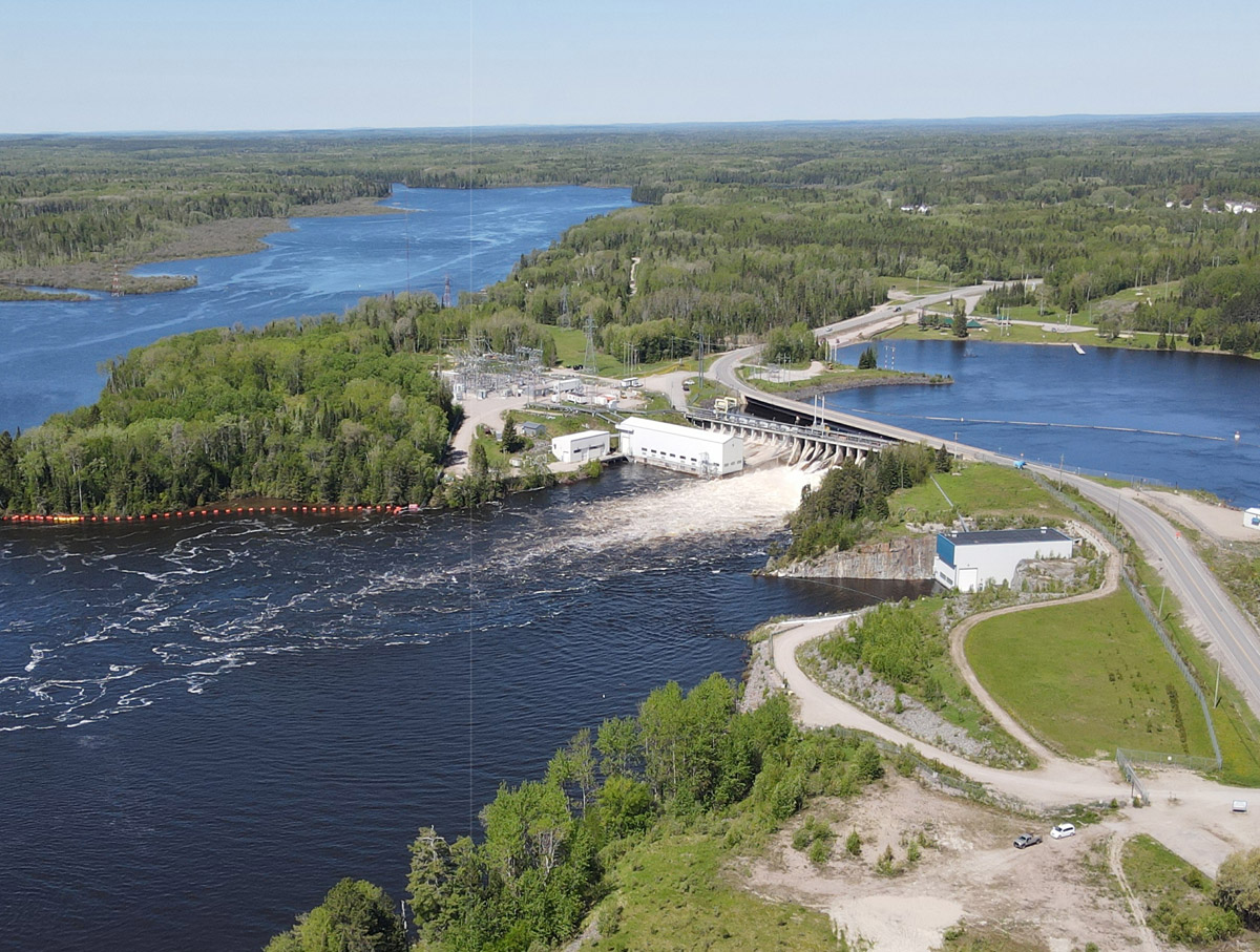
Dam Before the Highway
Ca. 1930s
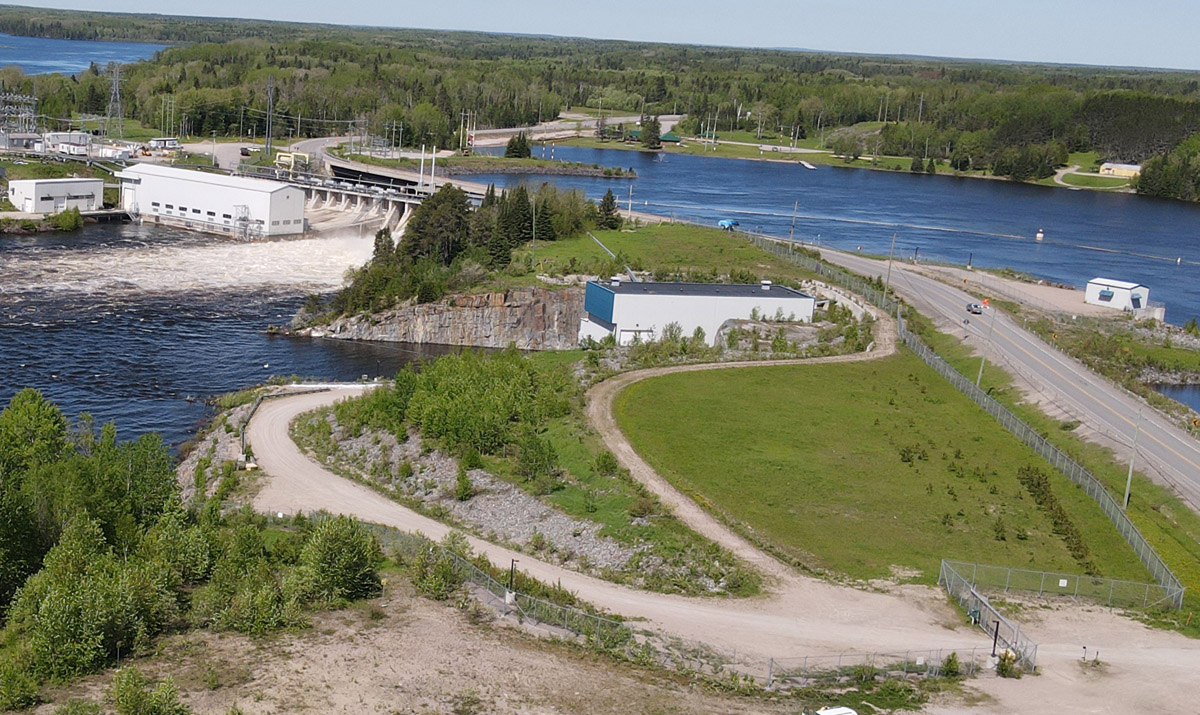
An aerial view of the Ear Falls Generating Station. The 17 MW facility was commissioned in 1930 to provide power for mining operations at Red Lake and Woman Lake. As you can see in this photo, Highway 105 has yet to be built. It would be completed in 1946.
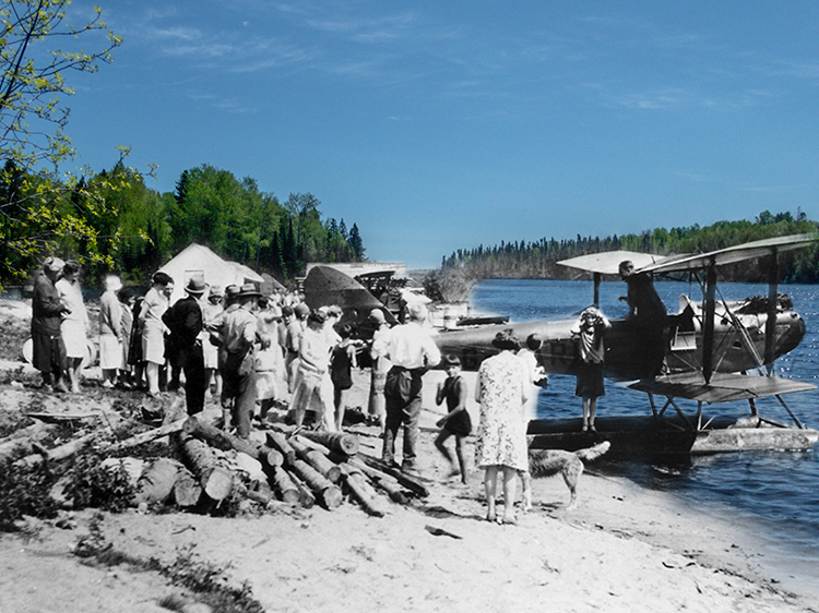
Embarking on a Plane
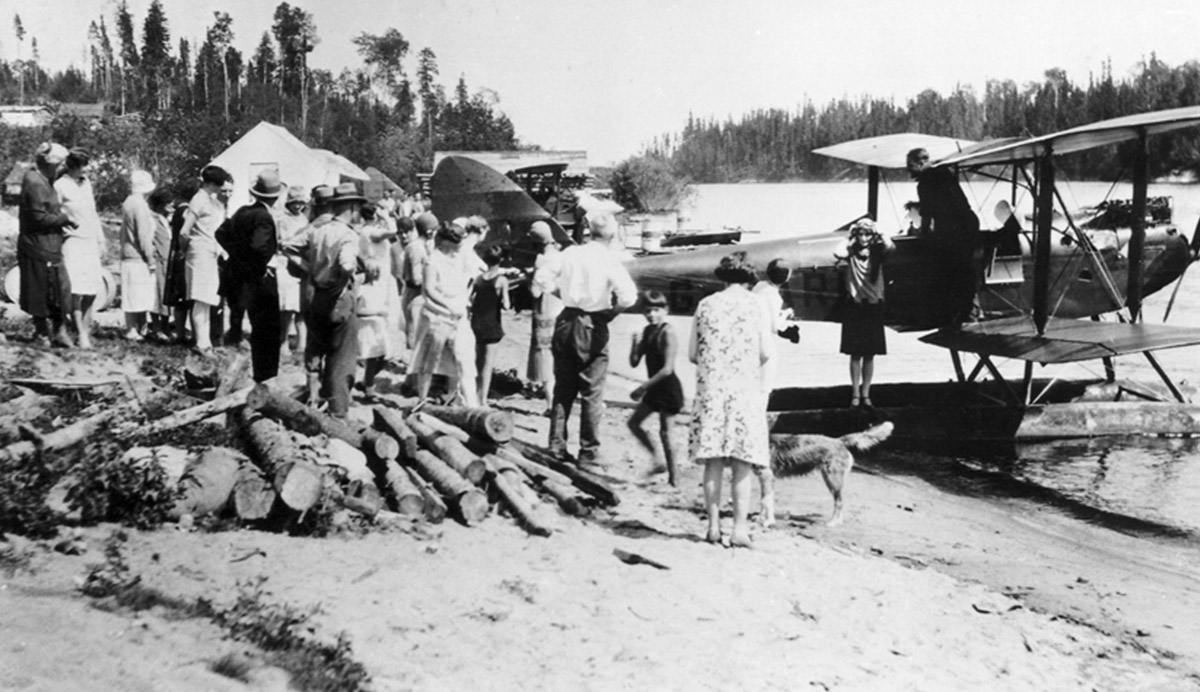
1929
A crowd of people watches as several people embark on a float plane at Gold Pines in the summer of 1929. The water level was lower at that point as the Ear Falls dam was still under construction.
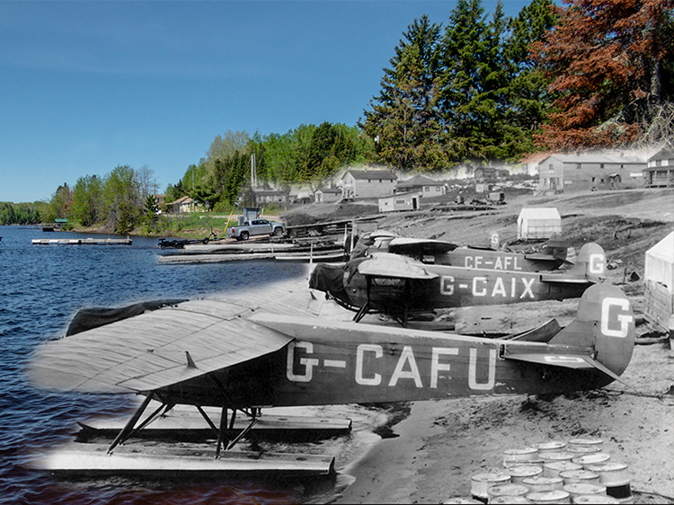
Aircraft at Gold Pines
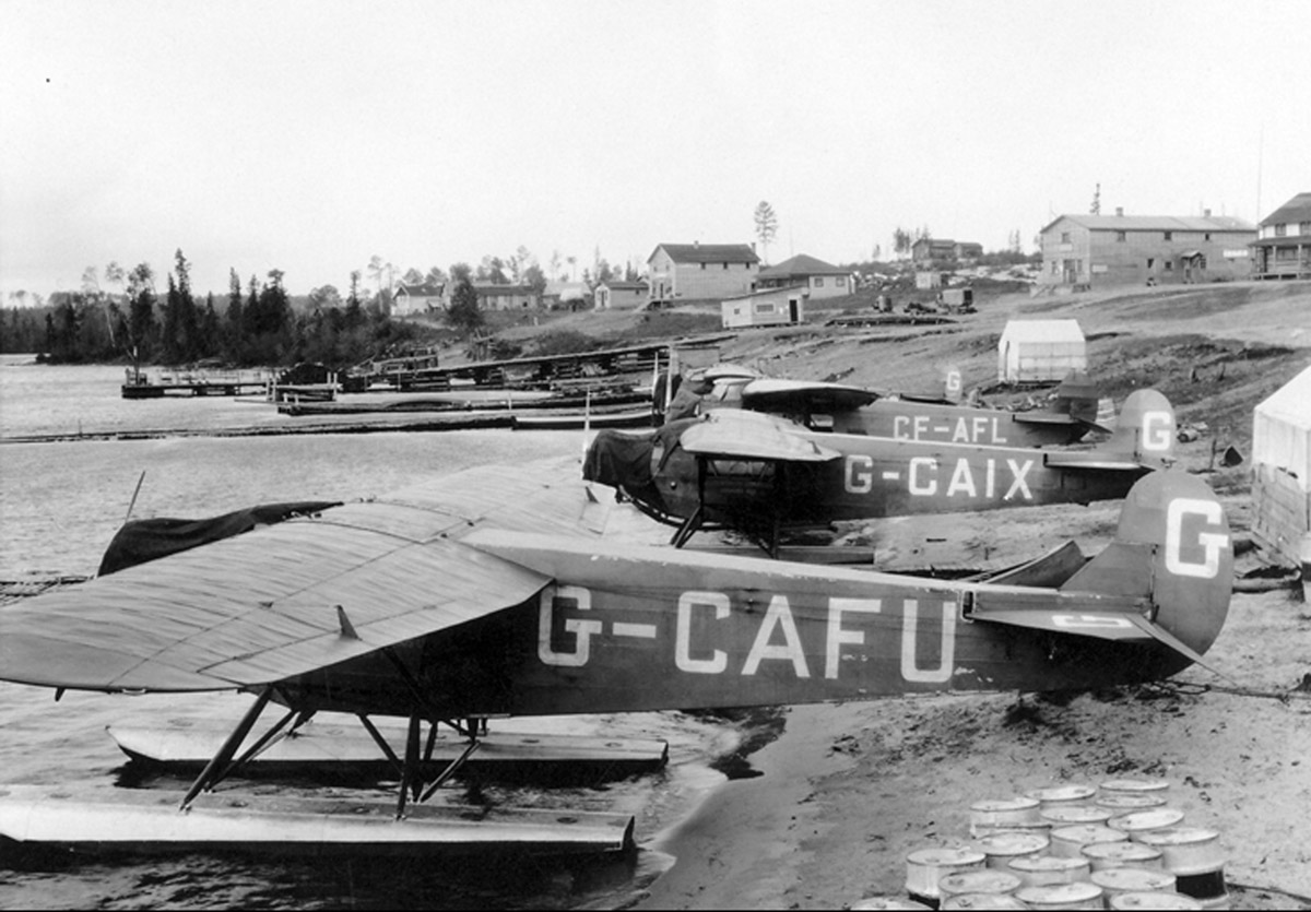
1928
A number of float planes are docked on the shores of Lac Seul at Gold Pines, just east of Ear Falls. This spot was once a Hudson's Bay Company trading post and later a popular destination for vacationers in the summertime.
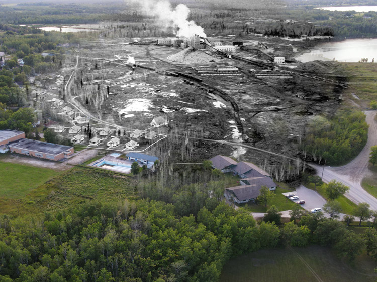
Hydro Colony from the Air
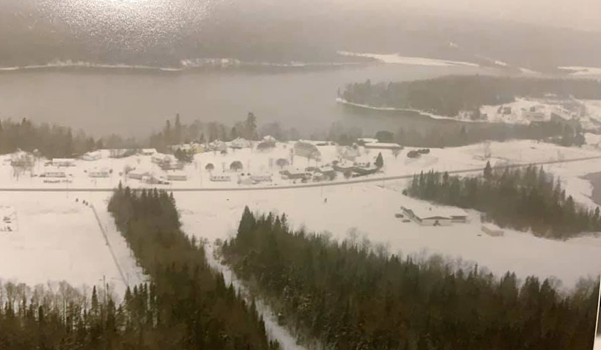
Ca. 1930s
An aerial winter time view of the Hydro Colony neighbourhood. At right is the Ear Falls Generating Station.
The Rail Portage
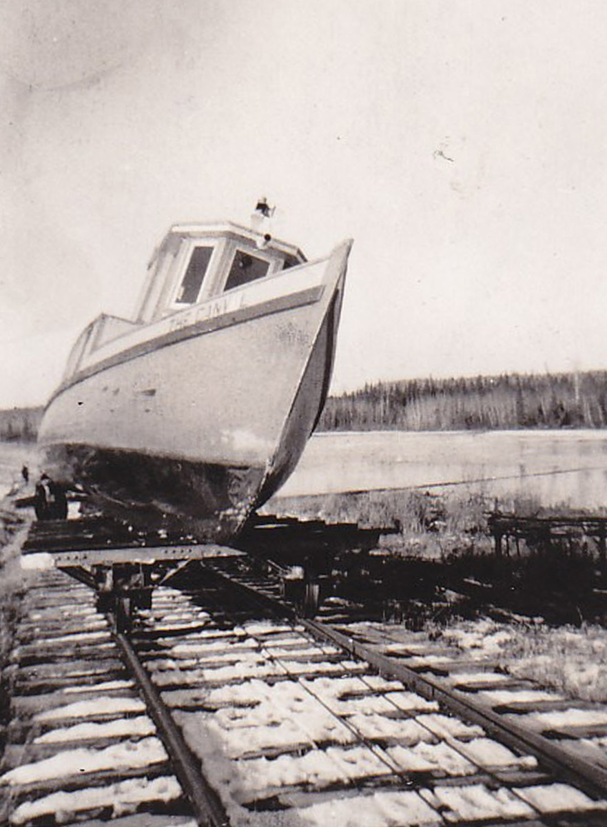
Ca. 1930s
A small tug boat on the rail portage at the Ear Falls Public Beach. The rail portage was an easy way to allow small vessels to get around the Ear Falls dam and continue their roundabout journey north along the English River to Red Lake and beyond.
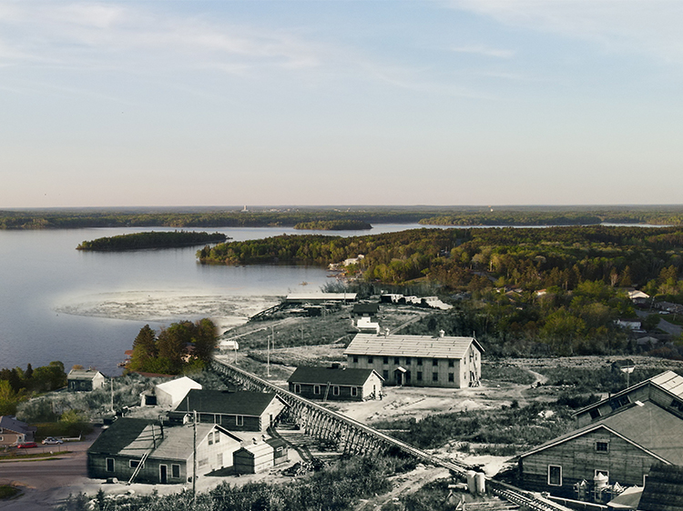
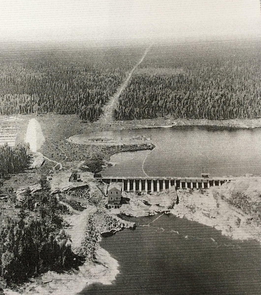
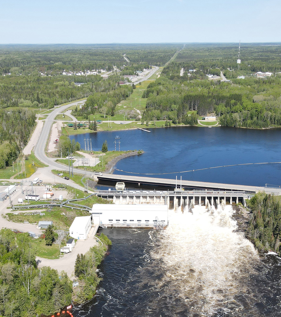
Ear Falls Dam
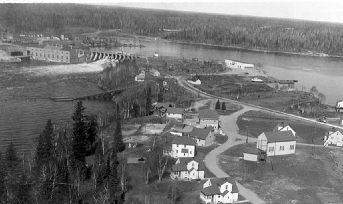
Ca. 1930
An aerial shot of the Ear Falls Dam shortly after its construction, which began in 1928. A neighbourhood that was once home to the dam's construction workers can be seen in the foreground, though it has since been demolished.
Family at the Hydro Colony
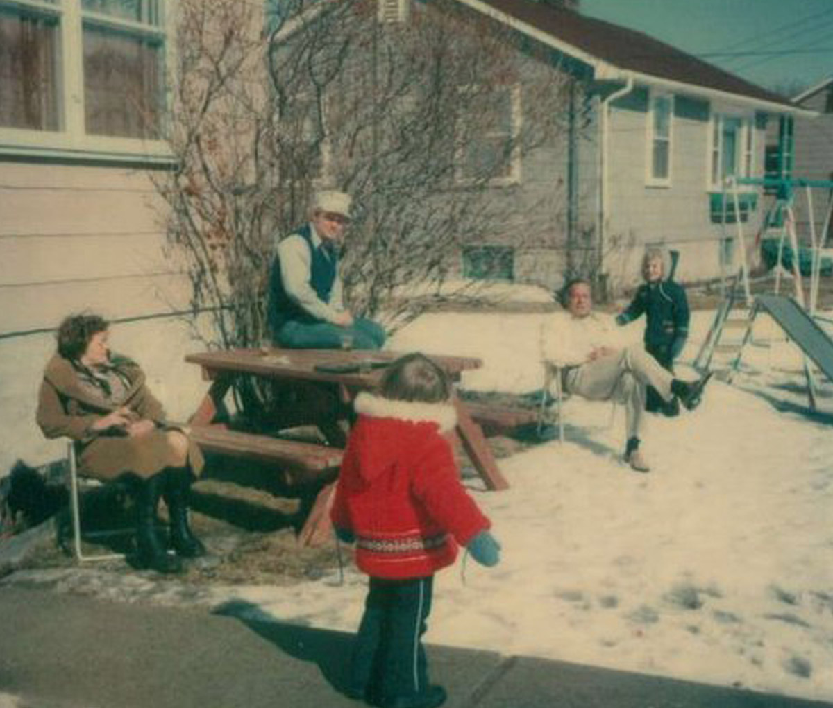
Ca. 1950s
A family enjoys the sun on a winter day outside their home in the Hydro Colony. The neighbourhood has since been demolished.
Bannatyne Home
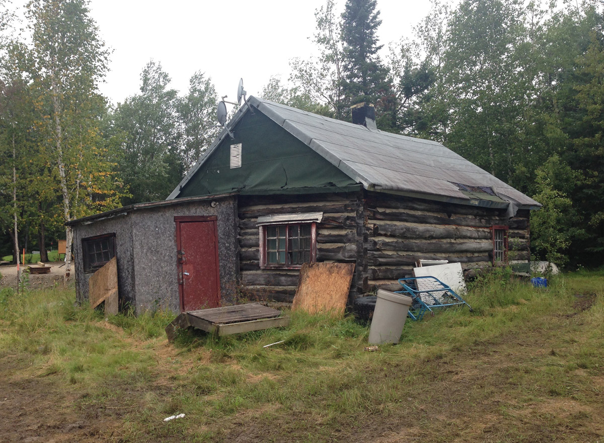
Ca. 2010s
This was once the home of the Bannatyne family. Gerald Bannatyne, an Ojibwe, enlisted to serve with the 52nd Battalion of the Canadian Expeditionary Force in France during the First World War. He survived the war and returned to Lac Seul, where he had a son James.
James was sent to the newly established Sioux Lookout Residential School, where they worked to eradicate his Ojibwe language. Thanks to his father Gerald, James was able to retain his ancestral tongue and learned "the many indigenous ways by making snowshoes, tanning moose and deer hides," among other skills.
In 1942 James enlisted with the Argyll and Sutherland Highlanders of Canada and went on to fight in Normandy. On August 2, 1944, he was killed. He is commemorated with a cairn at the Bannatyne Narrows, which were renamed in his honour.
Air Support
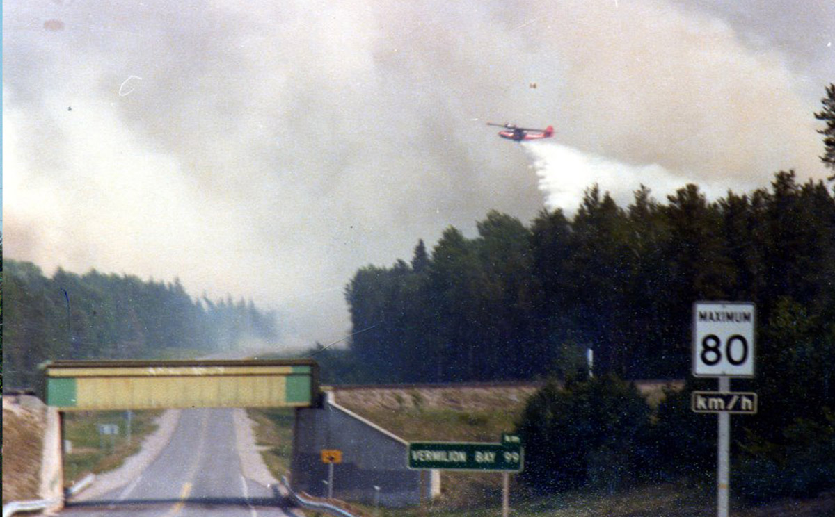
1980
A Canso water bomber drops a load of water on Fire 14, a major forest fire that threatened to engulf Ear Falls.
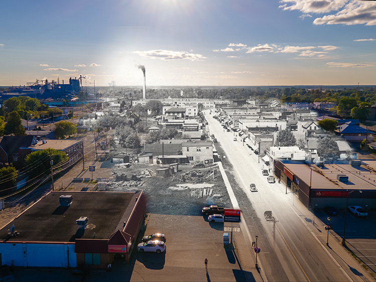
Great White North

Ca. 1980s
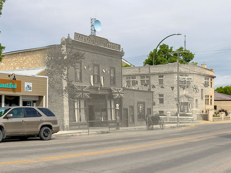
A welcome message scrawled on the railway overpass greets visitors to Ear Falls.